
Date:Aug 7, 1979
Time:6:30 am
Alt.:?? ft.
Temp.:65°
Barom.:steady,
Place:3 miles south of Bear Lake
Early start, good to get up and get going. I’m extremely glad that I stopped last night instead of continuing on to Bear Lake. I’ve checked the map this morning and it looks like a steady three mile climb. Not the best thing to do after a long and tiring day.
Date:Aug 7, 1979
Time:7:30 am
Alt.:?? ft.
Temp.:68°
Barom.:steady,
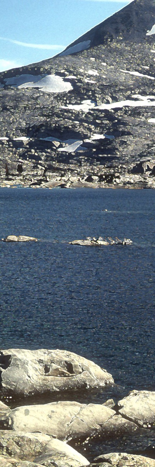
Place:Bear Lake
Not a bad climb, only an hour and a few breaks. Bear Lake isn’t much. More like a pond. A level area just to the south was flat enough for a parking lot, and surprisingly there was a car parked there. A four-wheel drive Jeep parked right at the water’s edge. As I approached the lake I could see that it was surrounded by four fisherman, each 90 degrees from each other. I imagine the fish were being forced to surrender. not a friendly crew. Heading on to Barker Meadows.
Date:Aug 7, 1979
Time:11:30 am
Alt.:?? ft.
Temp.:72°
Barom.:steady,
Place:Barker Meadows
More criss-crossing of logging roads. I must have spent at least an hour trying to read trail sign in order to pick out the right route. No peaks to triangulate position or to fix the heading. Finally rescued by four south bound hikers. I knew the route south of here, they knew the route north. The best of a win-win situation. Very friendly group of folks, both of us regretted our parting. Heading in to Barker meadows I got very familar with their shoe lug patterns in the soft trail dust.
Date:Aug 7, 1979
Time:1:00 pm
Alt.:?? ft.
Temp.:72°
Barom.:steady,
Place:Powderhorn Trailhead
Barker Meadows was a more a place on the map than it was in reality. I had lunch and planned my next target. I was hoping for an end of the unmarked logging roads, and hopefully get back to some honest to goodness trails. The map shows the trailhead of something called “The Big Powderhorn Trail,” but the approach was still using the logging roads. I could see where the trail must start and heading cross country would be a lot simpler. Breaking trail is not the best thing to do for safety and ecological reasons, however the ground here would not be damaged by my passing and it appeared quite safe. Besides, I’m not sure that I wasn’t following the trail.
It took about an hour and even then it was a 50/50 guess whether the trailhead was left of my position or right down the ridge a little ways. I could view down the canyon and I finally spotted the trail and I followed the trace back towards my perch. The trailhead was about a hundred yards to my left. Not bad reckoning.
Date:Aug 7, 1979
Time:4:30 pm
Alt.:?? ft.
Temp.:72°
Barom.:steady,
Place:Diamond Crossing
What a wonderful trail! Downhill all the way, a beautiful canyon with a building stream in the middle. It was exactly the kind of trail that I needed at this point. Motorbikes were allowed here and there appeared to be fresh tracks. Diamond Crossing is up ahead, good campsites, plenty of water.
